When you click on links to various merchants on this site and make a purchase, this can result in this site earning a commission. Affiliate programs and affiliations include, but are not limited to, the eBay Partner Network.
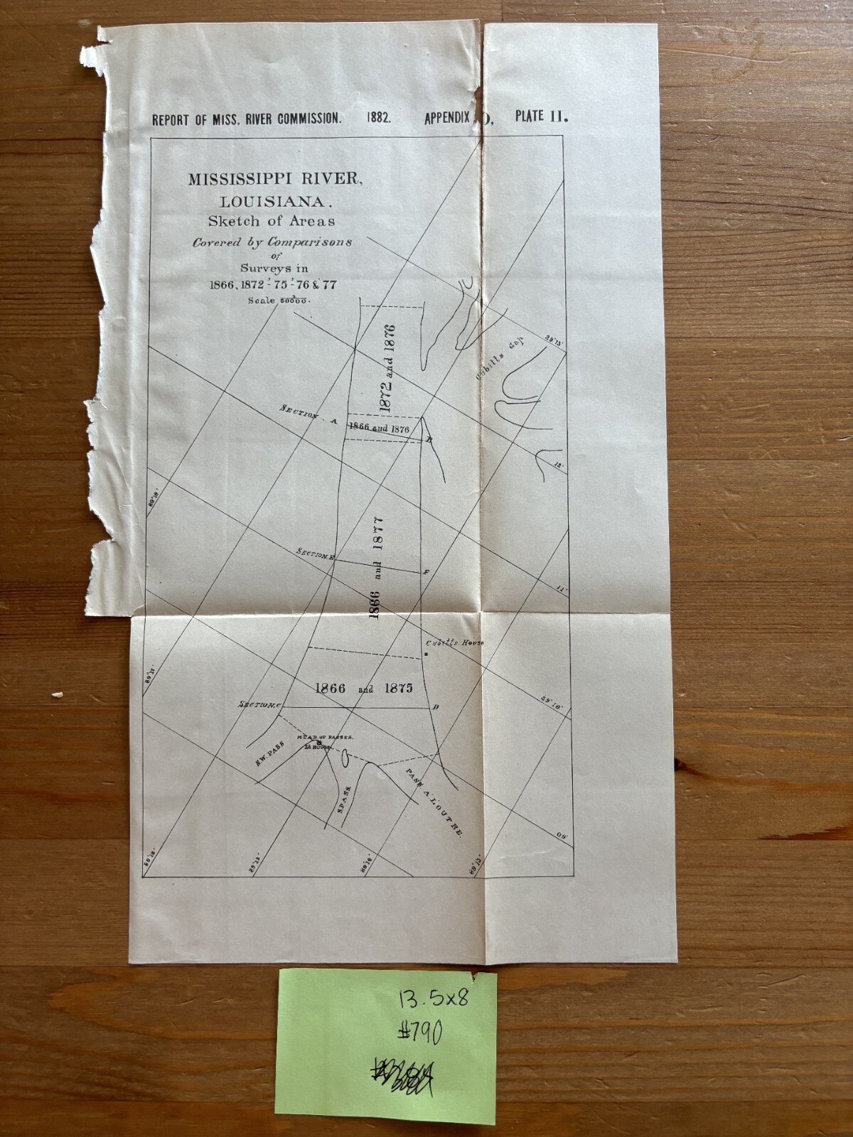
Army Engineering This map/diagram was removed from a historical bound book of maps and documents. Some photos may appear blurry however they are crisp and clear original lithographs published by The U.S. Government Printing Office. GPO
Please view pictures carefully. Maps and Diagrams have aged and yellowed with some separations on Seams/ Folds as Shown.
Please check out our store MEMAPS for Thousands of Antique Original Foldout Maps, Diagrams, and Plates depicting, Military, Architectural, Canals - Rivers - Levees - Harbors - Surveyed and Sketched by The United States Army Corps of Engineers.
We offer a 100% satisfaction guarantee on all purchases.
Please contact us before offerding for exact measurements for framing.