When you click on links to various merchants on this site and make a purchase, this can result in this site earning a commission. Affiliate programs and affiliations include, but are not limited to, the eBay Partner Network.
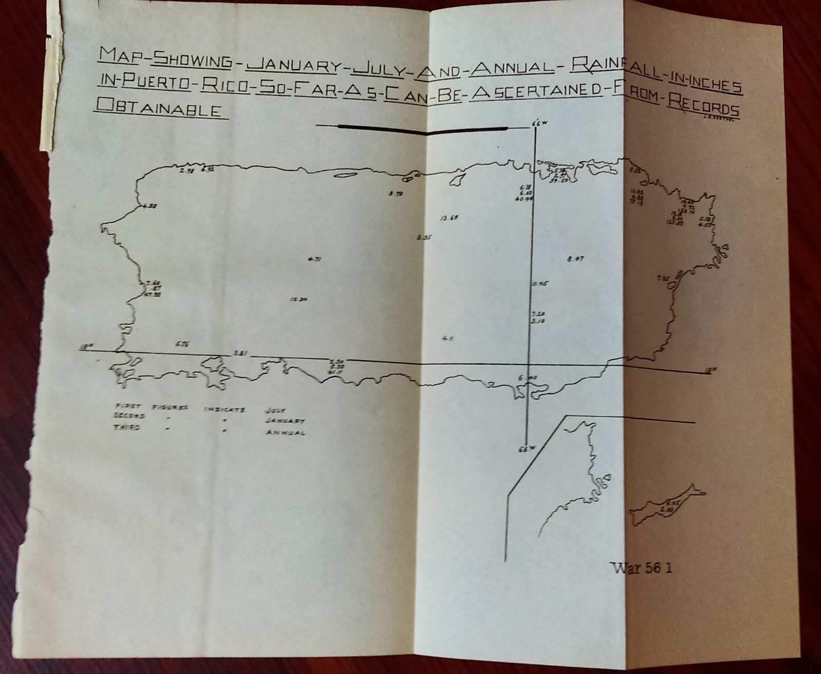
Army Engineering Map/diagram is in delicate condition with some aging, seam wear. Since our maps/diagrams can vary greatly in condition (i.e. some MAY have edge tears and/or separating seams), please view images carefully. Was removed from a bound book published by the Government Printing Office. Comes folded on current seams (if any exist) when we ship it.Measures about 10in x 9in. (map #3418)All original maps and diagrams are crisp and sharp. Some of our low resolution photos come across as blurry.
We offer FREE shipping for purchases of 3 items or more. Please email us with any questions.
Please check out our store MEMAPS for thousands ofAntique Original Foldout Maps, Diagrams, and Plates including, Canals - Dikes - Rivers- Lakes- Harbors - Dredging- Flood Control- Concrete Piers - Dams Levees- Forests - National Parks - Railroads- Military Ordnance - Naval- Nautical - Topographical- Geographical - Mining -Tunnels - Bridges- Architectural Engineering- Reservations U.S.Territories - Wharfs – U.S Army Corps of Engineers Surveys.
We offer a 100% satisfaction guarantee on all purchases.