
When you click on links to various merchants on this site and make a purchase, this can result in this site earning a commission. Affiliate programs and affiliations include, but are not limited to, the eBay Partner Network.

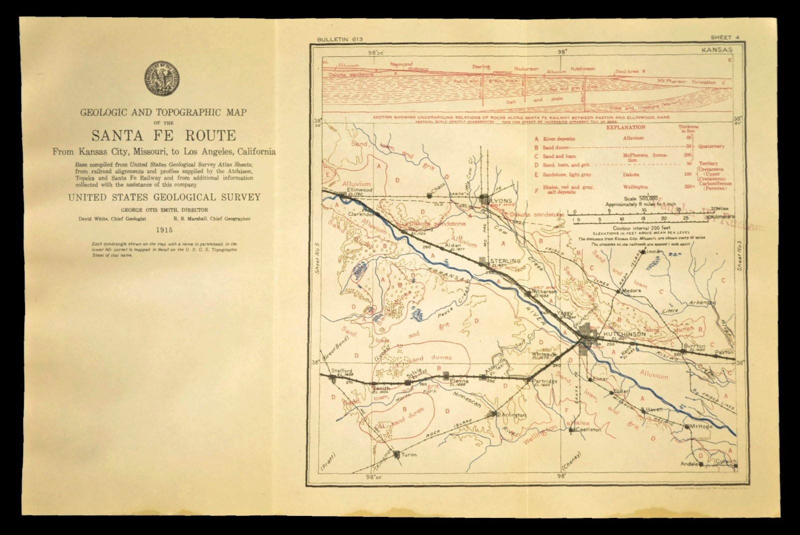
1915 Antique Santa Fe Railroad Map Line Hutchinson Kansas Sterling KS Lyons:
$19.51
This is an original 1915 trifold geological map on a type of vellum with two vertical folds. This map shows part of the Santa Fe railroad line. This map shows the Santa Fe line from Ellinwood Kansas and Stafford Kansas to Paxton Kansas. Unique to this map is that it has a chart of the Geology with matching letters on the map image. This map also includes a cross section along the top. The last image is an example of this folded trifold map.
This map measures about 13-3/4" x 9".
See the Item condition description for more information on this map. **





