When you click on links to various merchants on this site and make a purchase, this can result in this site earning a commission. Affiliate programs and affiliations include, but are not limited to, the eBay Partner Network.
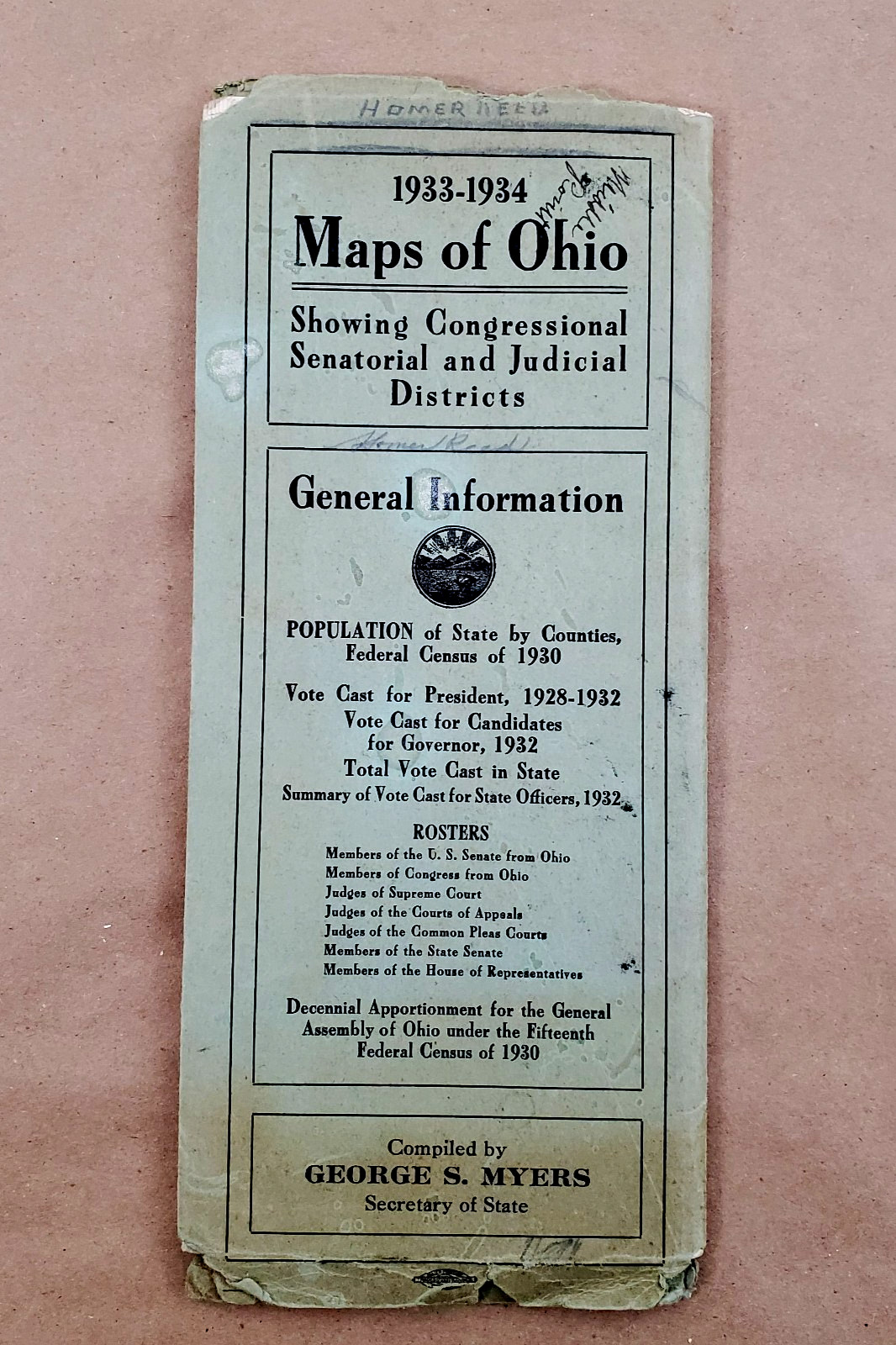
Original 1933–1934 Maps of Ohio booklet, compiled by Secretary of State George S. Myers. This Depression-era political reference includes multiple foldout color maps showing:
Congressional Districts (based on 1910 census act)
Senatorial Districts (1931–1941, based on 1930 census)
Judicial / Court of Appeals Districts
Also includes population statistics, vote totals for Presidential elections 1928 & 1932, vote for Governor 1932, and complete rosters of Ohio officeholders (U.S. Senators, Congressmen, Supreme Court Judges, Court of Appeals Judges, Common Pleas Judges, and State Representatives for 1933–1934).
A valuable piece of Ohio political history and an excellent reference for genealogists, researchers, map collectors, and historians.
Condition
Covers show edge wear, creases, age toning, and writing from the original owner (“Homer Reed,” dated 1933).
Foldout maps are intact with light edge wear.
Interior pages show mild foxing and age discoloration but remain fully legible.
Binding still attached though fragile due to age.
See photos for exact condition.
Measurements
Approx. 4" × 9" booklet when closed.
Multiple full-size foldout maps inside.