When you click on links to various merchants on this site and make a purchase, this can result in this site earning a commission. Affiliate programs and affiliations include, but are not limited to, the eBay Partner Network.
60.5 x 50.5 cm (23.75 x 19.75 in).
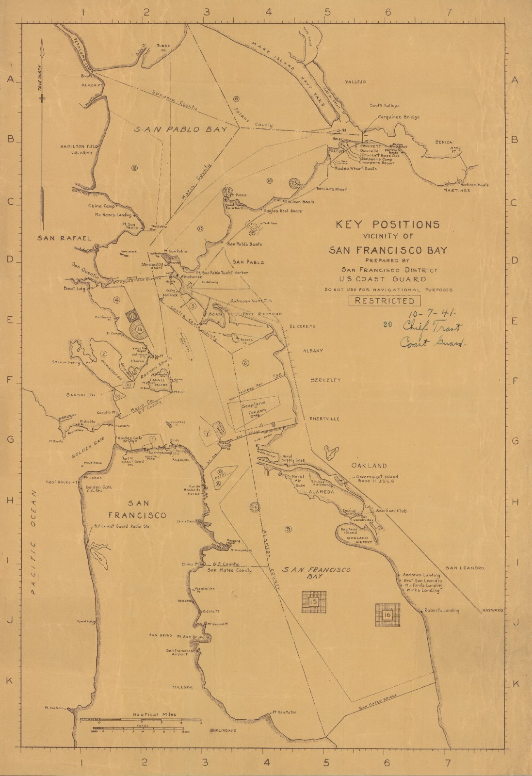
Marked ‘RESTRICTED,’ this is a fascinating 1941 map of the San Francisco Bay region, from the Mare Island Navy Yard to the San Mateo Bridge, showing numbered ‘key positions’ (presumably of military significance, though no further explanation is provided here). Among the features labeled, coast guard stations, airports, and coastal points are the most common.
The map is dated to October 7, exactly two months before the attack on Pearl Harbor. Already by this time, tensions between Imperial Japan and the U.S. were extremely high and defensive preparations were made all along the West Coast, with San Francisco being among the top areas of focus. Dated and signed by ‘Chief Trast, Coast Guard.’Census
This map is not listed in the OCLC and is not known by us to appear in any institutional collections.