When you click on links to various merchants on this site and make a purchase, this can result in this site earning a commission. Affiliate programs and affiliations include, but are not limited to, the eBay Partner Network.
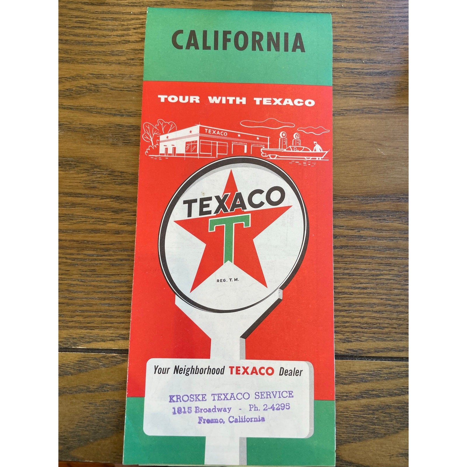
Original vintage Texaco touring map of California, dating to 1957.
The colorful cover features the classic Texaco red star service-station sign and midcentury artwork showing a Texaco station, automobiles, and roadside service. One example bears a dealer stamp from:
Kroske Texaco Service
1815 Broadway, Fresno, California
The folding map was produced by The H. M. Gousha Company and includes detailed California highways, towns, mileage, state parks, airports, mountain passes, county lines, and points of interest. It also contains city and town indexes, an enlarged map of the San Francisco Bay Area, and a street map of San Jose.
Two copies are included, one with the Fresno dealer stamp and one without.
Condition:
Both maps show vintage age and handling wear, including fold lines, light toning, minor stains, edge and corner wear, small creases, and occasional tiny tears. The colors remain bright, and the maps are complete and legible based on inspection. Please review all photographs carefully for condition.
A great addition to a collection of Texaco advertising, California travel memorabilia, vintage road maps, Fresno history, gas-station ephemera, or midcentury Americana.