

|
Site Categories |
|
Featured Items |

Poodle, Spaghetti Trim, Ucagco


|
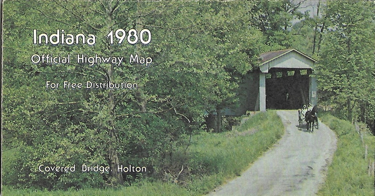
1980 INDIANA Official State Highway Road Map Holton Covered Bridge South Bend For Sale

When you click on links to various merchants on this site and make a purchase, this can result in this site earning a commission. Affiliate programs and affiliations include, but are not limited to, the eBay Partner Network.

1980 INDIANA Official State Highway Road Map Holton Covered Bridge South Bend:
$7.99
Large-formatfold-out 1980 official highway map of Indiana, printed more than 39yearsago. - This map opens to 34" x 22"and has greatdetail on old road alignments.
- On the reverse sidethere are inset plans of 15 cities, including Terre Haute, Vincennes,Evansville, FortWayne, Indianapolis, Bloomington, Lafayette, South Bend, Muncie, andthe Calumet area.
- The map was published in 1980 by the Indiana StateHighway Commission.
- The photo on the front cover shows the covered bridge in Holton, Ripley County. Inside thereare portraits of Governor and Mrs. Otis R. Owen and Highway CommissionChairman Donald C. Pratt.
- Condition: This map is in excellentcondition,bright and clean, with no marks, rips, or tears.Please see the scans and feel free to ask any questions.
- Buy with confidence! We are always happy to combineshipping on thepurchase of multiple items — just make sure to pay for everythingat one time, not by SixBit's eCommerce Solution
|
|
Related Items: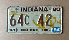
1980 Indiana License Plate George Rogers Clark 64C 42 $14.50
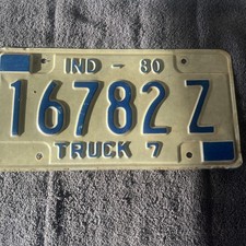
1980 Indiana Truck License Plate 16782Z $16.95
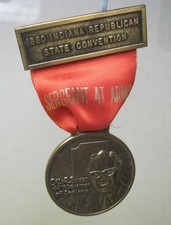
1980 Indiana State Republican Convention Otis R. Bowen 44th Governor Medallion $9.99
|
|
|
Shopping Cart  |

|
Recently Viewed |
|
Latest Items |
|
Facebook |
Secure Websites

|
