When you click on links to various merchants on this site and make a purchase, this can result in this site earning a commission. Affiliate programs and affiliations include, but are not limited to, the eBay Partner Network.

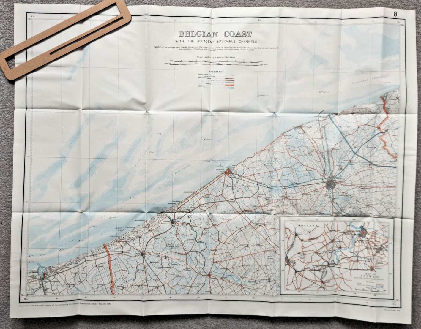
Belgian Coast with Navigable Channels - 1922 Antique Naval Admiralty WW1 Map:
$26.48
Original Antique map extracted from a c1922 Report on activity and operations during WW1
Map is in good condition, with general light creasing along folds and some general light handing wear/creases, but nothing major see photo
Approx total paper size is 81 x 63cm
Stored and shipped folded down a number of existing fold lines
See photo