When you click on links to various merchants on this site and make a purchase, this can result in this site earning a commission. Affiliate programs and affiliations include, but are not limited to, the eBay Partner Network.
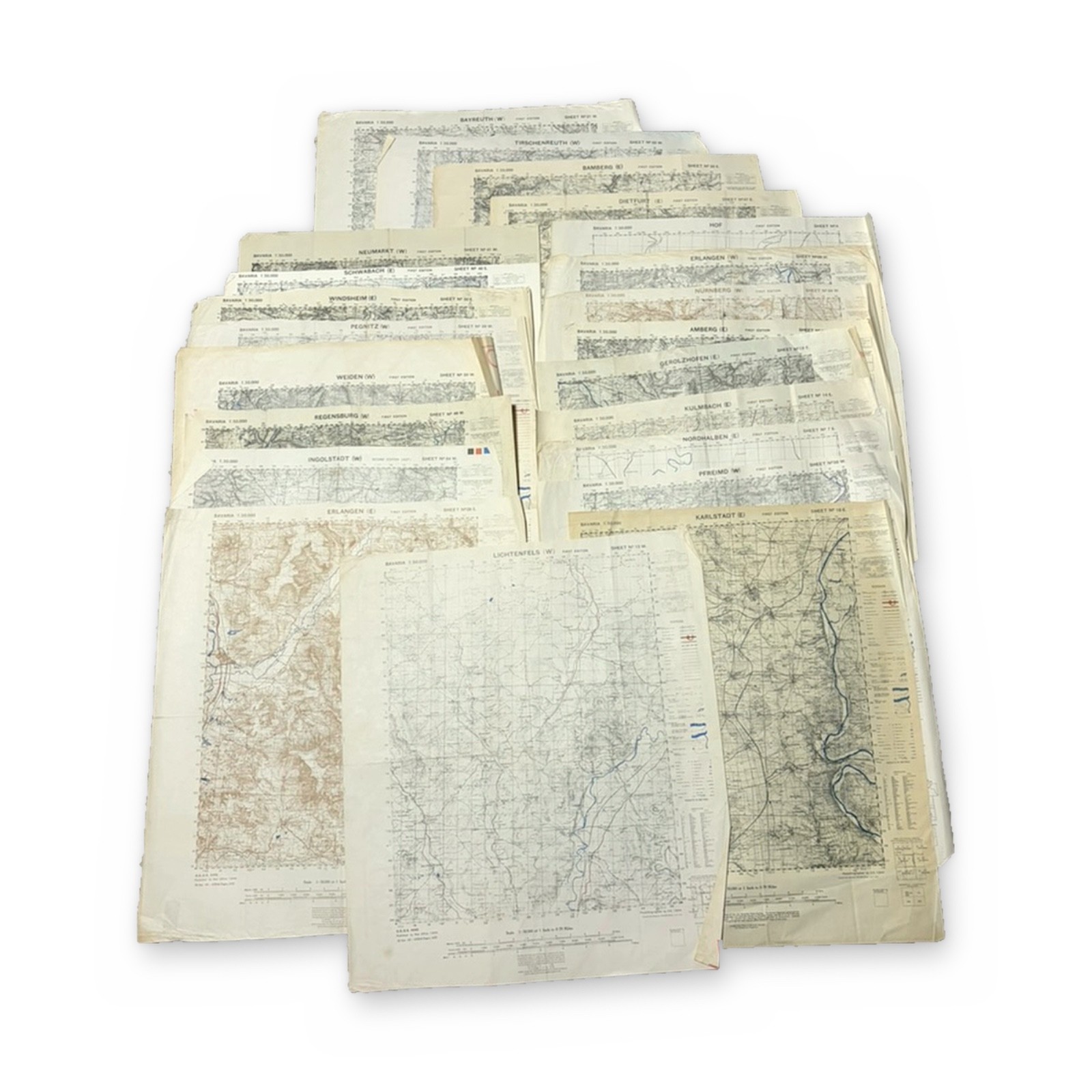
22 original WWII Allied military maps of Bavaria, Germany. GSGS 4492, 1:50,000 scale. Published by the War Office, 1944. Some sheets carry 1945 US Army engineer reprint notes.
Sheets:
- Bayreuth (W)
- Tirschenreuth (W)
- Bamberg (E)
- Dietfurt (E)
- Hof
- Neumarkt (W)
- Schwabach (E)
- Erlangen (W)
- Erlangen (E)
- Windsheim (E)
- Nürnberg
- Pegnitz (W)
- Amberg (E)
- Weiden (W)
- Gerolzhofen (E)
- Regensburg (W)
- Kulmbach (E)
- Ingolstadt (W), Second Edition (AEF)
- Nordhalben (E)
- Pfreimd (W)
- Lichtenfels (W)
- Karlstadt (E)
Many maps have printed on the reverse, overstamped “VOID.” This is common wartime paper reuse.
Covers Nuremberg, Bamberg, Regensburg, and the Main River. This was the 1945 advance route of the US 3rd and 7th Armies.
Condition: Toning, edge wear, and fold lines, consistent with age. No major losses.
Will be shipped folded as that is how I received them.