When you click on links to various merchants on this site and make a purchase, this can result in this site earning a commission. Affiliate programs and affiliations include, but are not limited to, the eBay Partner Network.
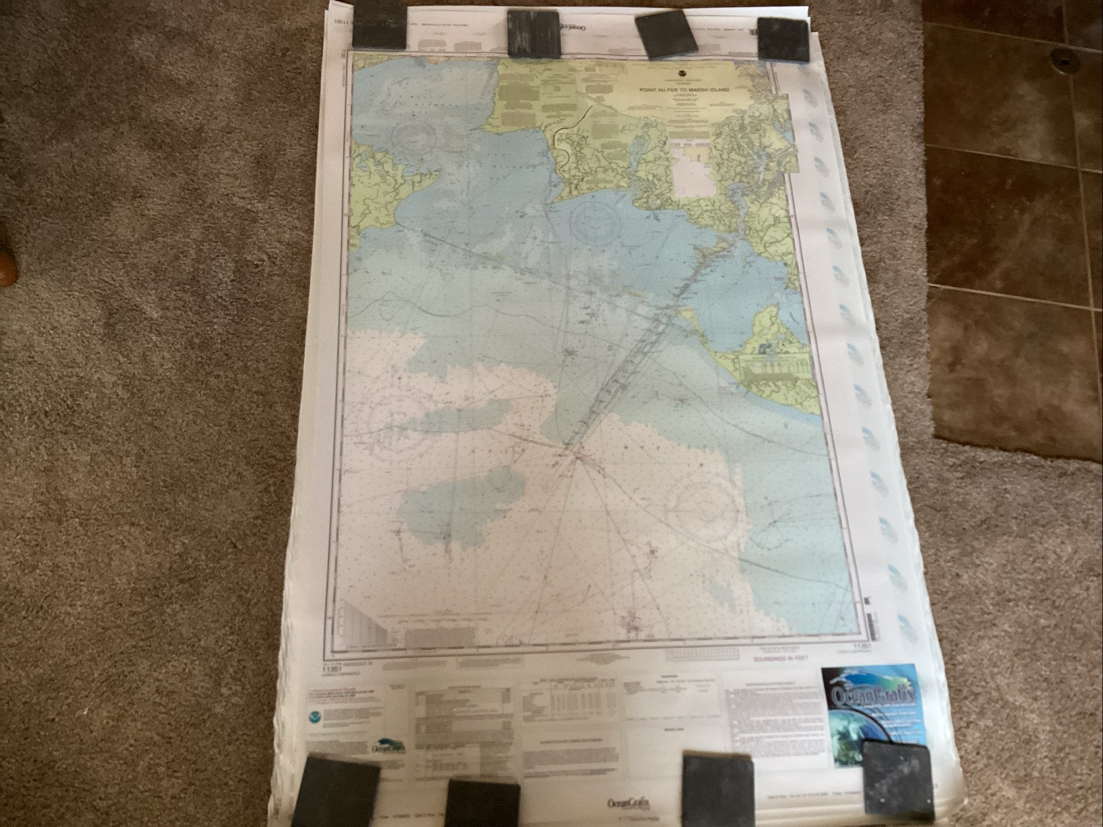
I purchased a tube full of nauctical navigational charts from the estate of a Louisiana based Sea Captain. They measure 3 feet by nearly 5 feet.
They are Oceanografix charts.
Included is
11351- point au frets marsh island
11357- timbalier and terr Bonne bays
11349- vermilion Bay and approaches
11345 - New Orleans to calcasieu river west section
11375 - Pascagoula Harbor
11361 - Mississippi River Delta
11346 - Port Fourchon
These 7 maps are in very good condition.
11346 has a small corner torn off at the margin.
All of the charts have a rough ends from being stored in the tube.
See pictures for condition.
If you need more details or photos, please let me know.
I will send them in the tube that the Captain received them and stored them in...