When you click on links to various merchants on this site and make a purchase, this can result in this site earning a commission. Affiliate programs and affiliations include, but are not limited to, the eBay Partner Network.
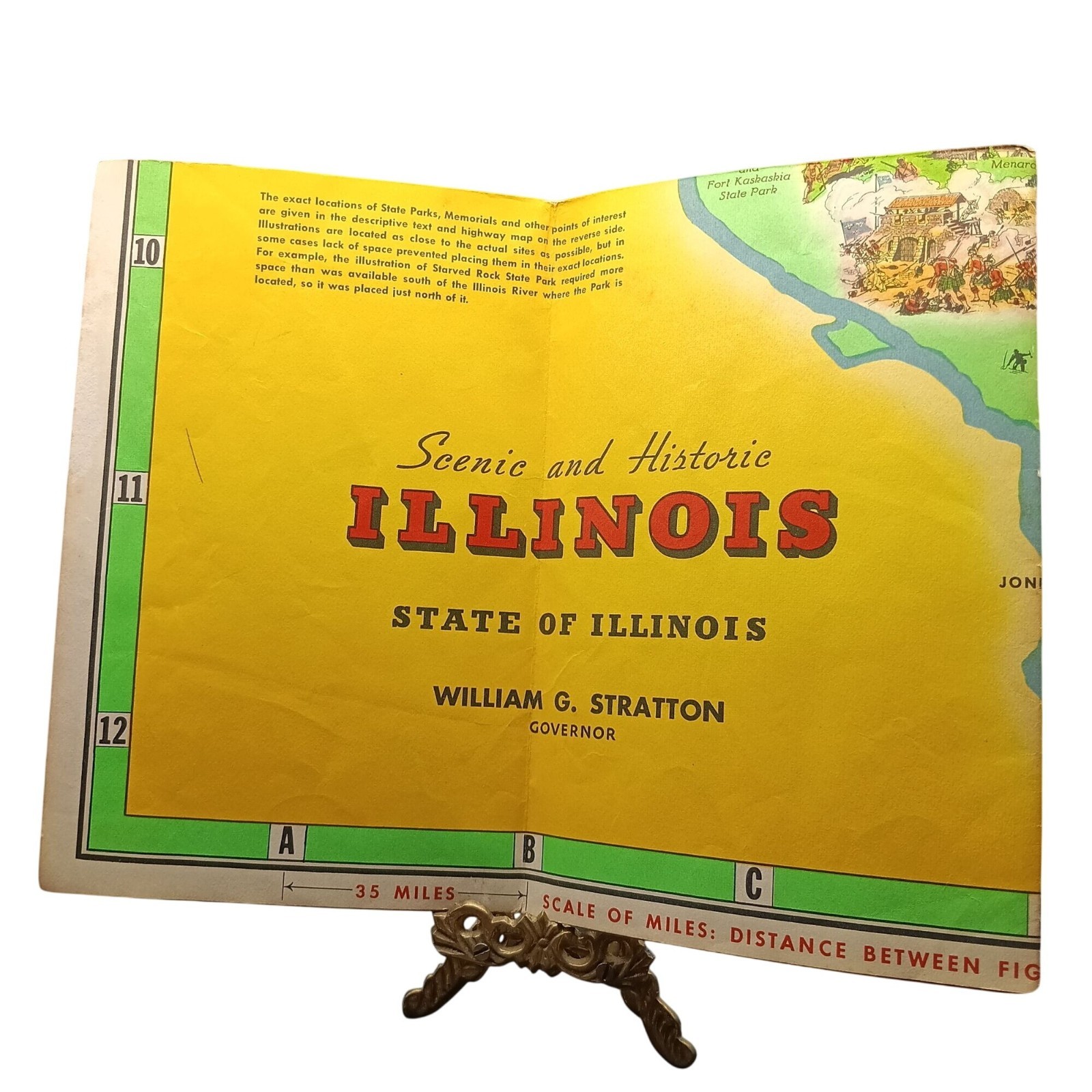
This vintage 1953 map showcases Illinois' historic landmarks and state parks with vibrant illustrations and detailed geography. Ideal for collectors or history enthusiasts.• Features colorful illustrations of Illinois landmarks
• Published by Rand McNally in 1953
• Includes a scale of miles for accurate measurements
• Compact and lightweight for display or storageMinor edge wear and discoloration visible on the cover and pages. Features:
Illustrated
USASize: OSCondition: Pre-Owned GoodMinor edge wear and discoloration on cover and pages.