When you click on links to various merchants on this site and make a purchase, this can result in this site earning a commission. Affiliate programs and affiliations include, but are not limited to, the eBay Partner Network.
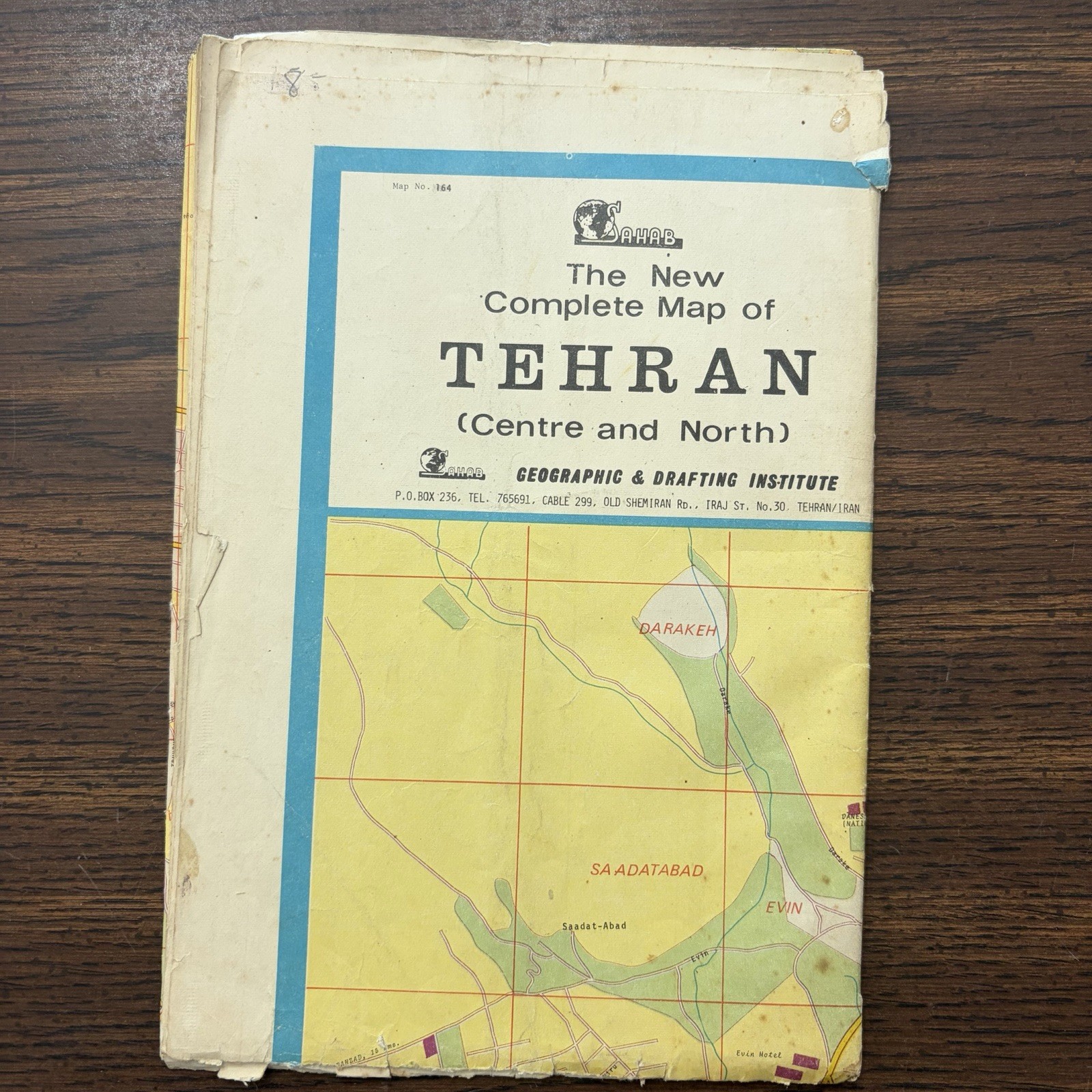
* Map No.: 164
* Publisher: Sahab Geographic & Drafting Institute, Tehran, Iran
* Large fold-out color street map showing central and northern Tehran
* Appears to be pre-1979 / Pahlavi-era, with period place names and city layout
* Approx. folded size: 6.5” × 9”
* Condition: Poor/fair vintage condition. Significant edge wear and tears, splitting/separation along folds, spotting/foxing, staining, creasing, small holes, and ink/marker marks on the map. Sell as-is and photograph the damage clearly.