

|
Site Categories |
|
Featured Items |

Poodle, Spaghetti Trim, Ucagco


|
Louisiana State Map by Rand McNally For Sale


When you click on links to various merchants on this site and make a purchase, this can result in this site earning a commission. Affiliate programs and affiliations include, but are not limited to, the eBay Partner Network.

Louisiana State Map by Rand McNally:
$8.95
Louisiana State Map by Rand McNallyEntire State Shown On One SideSize 25½" x 36" (Folded 4" x 9½")Counties Outlined & Labeled.Cities & Towns marked by relative population.Detailed Insets of:Alexandria, Baton Rouge, Lafayette, Lake Charles, Monroe, New Orleans Vicinity, New Orleans Downtown, ShreveportInterstate Highways, U.S. Highways, State Highways, County Highways. Some connector roads shown.City & County Index.©2006
|
|
Related Items: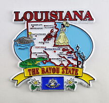
LOUISIANA STATE ELEMENTS MAP FRIDGE COLLECTIBLE SOUVENIR MAGNET $8.45

Louisiana State Police collectable Patch Set 2 pieces $7.95

Louisiana State Police Shoulder Patch 1965-74 Issue LA ~ Vintage ~ RARE $38.95
|
|
|
Shopping Cart  |

|
Recently Viewed |
|
Latest Items |
|
Facebook |
Secure Websites

|
