New Jersey State Road Map by Franklin Maps For Sale


When you click on links to various merchants on this site and make a purchase, this can result in this site earning a commission. Affiliate programs and affiliations include, but are not limited to, the eBay Partner Network.

New Jersey State Road Map by Franklin Maps:
$12.95
New Jersey State Road Map by Franklin Maps.26" x 40" (folded size is 4½ x 8)Counties Named & Shaded.Cities & Towns marked by population.All Interstate Highways, U.S. Routes, State Routes shown. Many County Routes shown.Map & City Town Index on one side with extensive activities list for Wildlife Management Areas, State Park & Forest, National Recreation Areas on reverse.Atlantic City & Trenton enlargements. Philadelphia/Camden Vicinity Map. Artificial Reef Locations list. Major Cities: Atlantic City, Trenton, Jersey City, Newark, Elizabeth, Patterson, Phillipsburg, Camden, Vineland, Millville, Cape MayState Game Lands, State Parks & Forests, Recreation Areas, Lakes-Rivers-Streams, Physical Features, Golf Courses, Colleges/Universities, & other Points of Interest.©2007, Scale: 1"=4.5 miles(Multiple copies by request)
|
|
Related Items: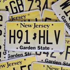
NEW JERSEY License Plate 🔥FREE SHIPPING🔥~ 1 ~ w/ RANDOM LETTERS & NUMBERS $19.99
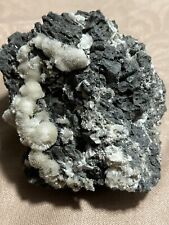
NATROLITE, MILLINGTON QUARRY, BASKING RIDGE, NEW JERSEY $150.00
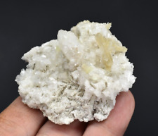
Heulandite with Stilbite on Quartz - Upper New Street Quarry, New Jersey $12.00
|