

|
Site Categories |
|
Featured Items |

Poodle, Spaghetti Trim, Ucagco


|
Rand Mcnally Easy to Read: Alaska State Map - NEW For Sale


When you click on links to various merchants on this site and make a purchase, this can result in this site earning a commission. Affiliate programs and affiliations include, but are not limited to, the eBay Partner Network.

Rand Mcnally Easy to Read: Alaska State Map - NEW:
$20.24
Rand McNally's Easy To Read State Folded Map is a must-have for anyone traveling in and around Alaska, offering unbeatable accuracy and reliability at a great price. Our trusted cartography shows all Interstate, U.S., state, and county highways, along with clearly indicated parks, points of interest, airports, county boundaries, and streets. The easy-to-use legend and detailed index make for quick and easy location of destinations. You'll see why Rand McNally folded maps have been the trusted standard for years. -Regularly updated, full-color maps. -50% larger map with a bigger type size than the Rand McNally Folded Map. -Clearly labeled Interstate, U.S., state, and county highways. - Indications of parks, points of interest, airports, county boundaries, and more. -Mileage and driving times map. -Detailed index. - Convenient folded size. Coverage Area Detailed maps of: Anchorage, Denali National Park, Fairbanks, The Inside Passage, Juneau, Downtown Juneau, Ketchikan, Sitka. Product Details: Dimensions (unfolded): 28 x 40.
|
|
Related Items:
Rand Mcnally Easy to Fold: Tennessee State Laminated Map - NEW $26.99
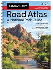
Rand McNally 2025 Road Atlas & National Park Guide (Hardback or Cased Book) $28.95
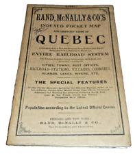
1910 RAND McNALLY QUEBEC FULL COLOR QUEBEC ENTIRE RAILROAD SYSTEM MAP $40.00
|
|
|
Shopping Cart  |

|
Recently Viewed |
|
Latest Items |
|
Facebook |
Secure Websites

|
