When you click on links to various merchants on this site and make a purchase, this can result in this site earning a commission. Affiliate programs and affiliations include, but are not limited to, the eBay Partner Network.
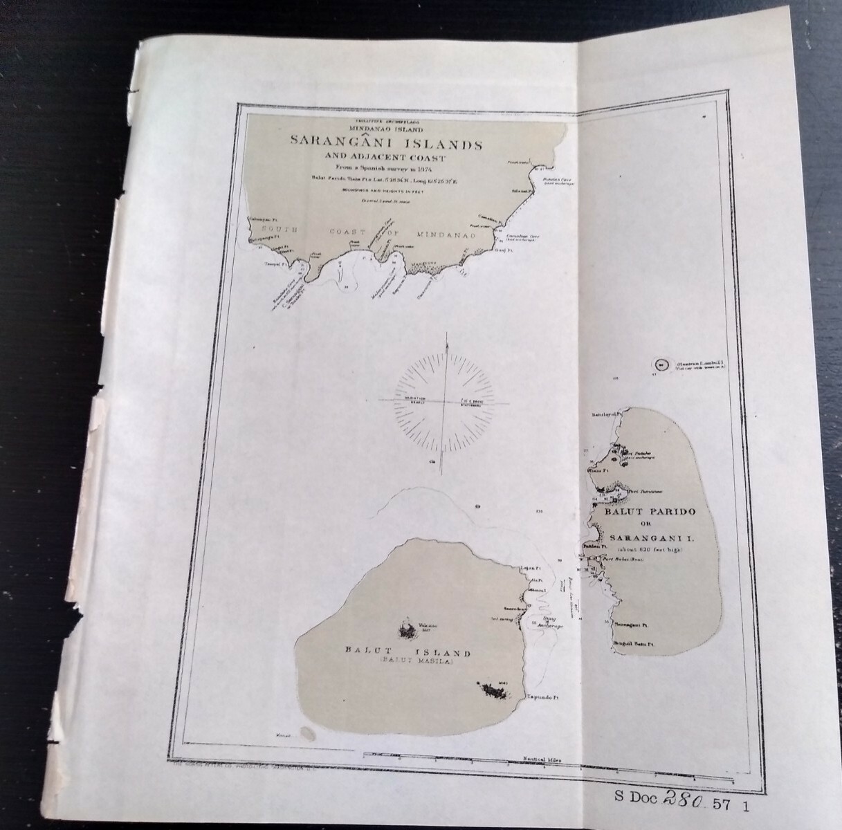
Army Engineering This map/diagram was removed from a historical bound book of maps and documents published by The U.S. Government Printing Office. GPO
Map measures about 10in x 9in.
Please check out our store MEMAPS for Thousands of Antique Original Foldout Maps, Diagrams, and Plates depicting, Military, Architectural, Canals - Rivers - Levees - Harbors - Surveyed and Sketched by The United States Army Corps of Engineers.
We offer a 100% satisfaction guarantee on all purchases.