

|
Site Categories |
|
Featured Items |

Poodle, Spaghetti Trim, Ucagco


|
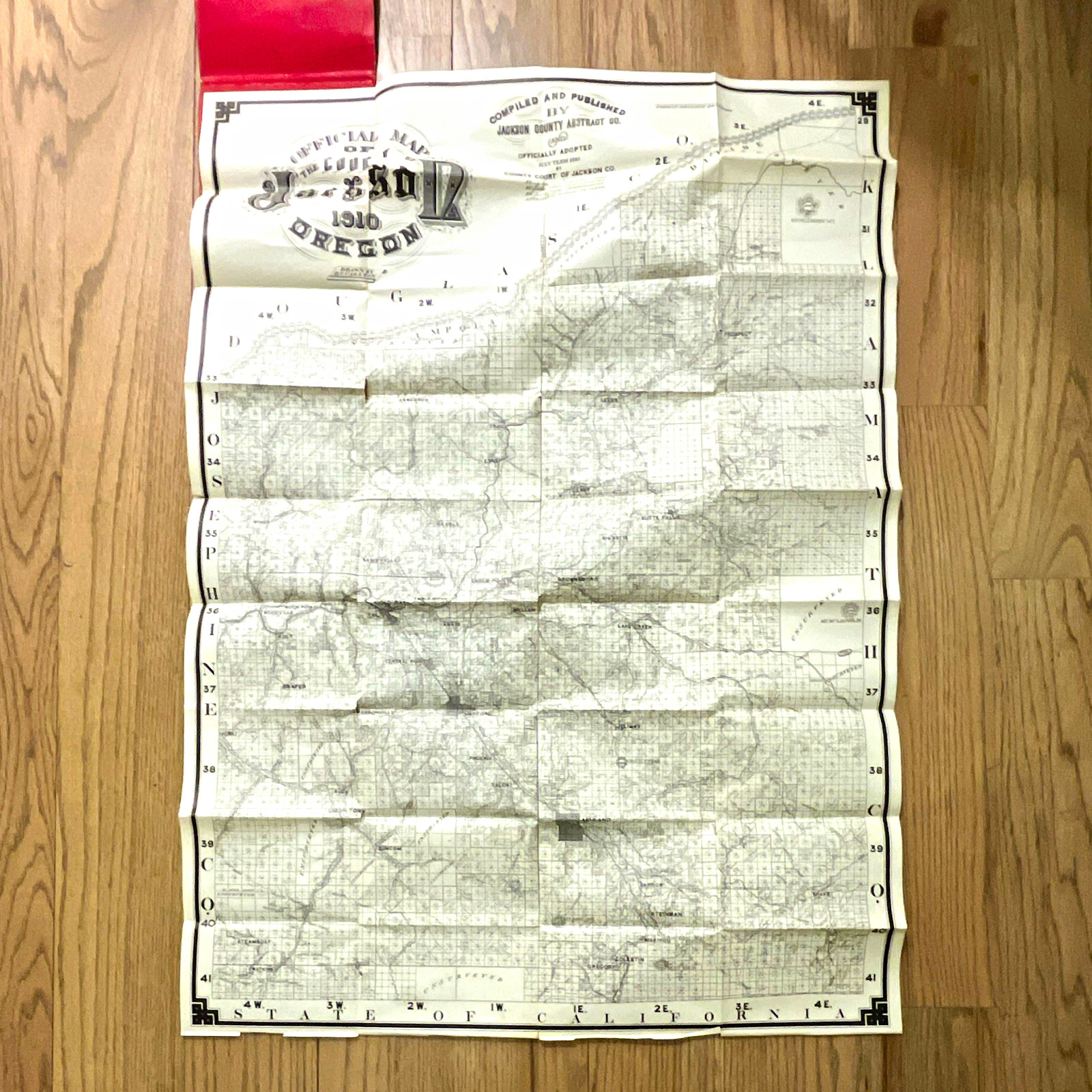
1910 Jackson County Oregon 27x36 Land Ownership Map D.C. Carlton Antique For Sale

When you click on links to various merchants on this site and make a purchase, this can result in this site earning a commission. Affiliate programs and affiliations include, but are not limited to, the eBay Partner Network.

1910 Jackson County Oregon 27x36 Land Ownership Map D.C. Carlton Antique:
$124.99
Original 1910 Official Map of Jackson County, Oregon, compiled and published by the Jackson County Abstract Company and drawn by D. C. Carlton.This large-format antique folding map measures approximately 27” x 36” when fully opened and was officially adopted by the County Court of Jackson County during the July 1910 term.This is much more than a simple road map. It is an early land ownership/property map showing individual landowners and parcels throughout Jackson County, along with towns, roads, railroads, streams, township and section lines, forest reserves, government lands and other geographic features.Communities and locations shown include Jacksonville, Central Point, Eagle Point, Brownsboro, Wellen, Prospect, Phoenix, Ashland and many others. The map also identifies railroad and government holdings and features such as Mt. McLoughlin.The map retains its original red Jackson County Abstract Company’s Ownership Map folder, which states:“Giving Owners, Towns, Railroads, Streams, Roads, Forest Reserves, Etc.”The original price of $2.50 is printed on the cover.Condition: This is an original 116-year-old folding map showing substantial age and use. The red outer folder has edge and corner wear, creasing, scuffing and small tears. The map has wear and splitting along its original folds, including several areas of paper loss at fold intersections. The most noticeable loss is in the large decorative “Jackson” title area, with additional smaller losses elsewhere. There is age toning, creasing and general handling wear throughout.Despite the condition issues, the great majority of the map remains intact and readable, including the extensive individual landowner and property information. All significant fold damage and paper loss has been photographed—please examine all photos carefully for exact condition.Map is being sold as found and has not been repaired or restored.A fascinating original piece of Southern Oregon history and an excellent research or display item for collectors of Jackson County and Rogue Valley history, genealogy, antique maps, land ownership records and early Oregon history.Approximate unfolded size: 27” x 36”Original 1910 map — not a reproduction.
|
|
Related Items: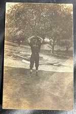
1910-15 MLB Cleveland Lifetime Ban Shoeless Joe Jackson Uniformed Baseball RPPC $875.00
1910 Jackson County Oregon 27x36 Land Ownership Map D.C. Carlton Antique $124.99
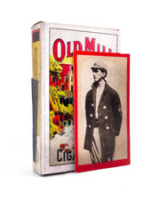
Vintage Old Mill Cigarette Pack T210 Joe Jackson Card 1910 Replica Tobacco Gift $38.00
|
|
|
Shopping Cart  |

|
Recently Viewed |
|
Latest Items |
|
Facebook |
Secure Websites

|
