When you click on links to various merchants on this site and make a purchase, this can result in this site earning a commission. Affiliate programs and affiliations include, but are not limited to, the eBay Partner Network.
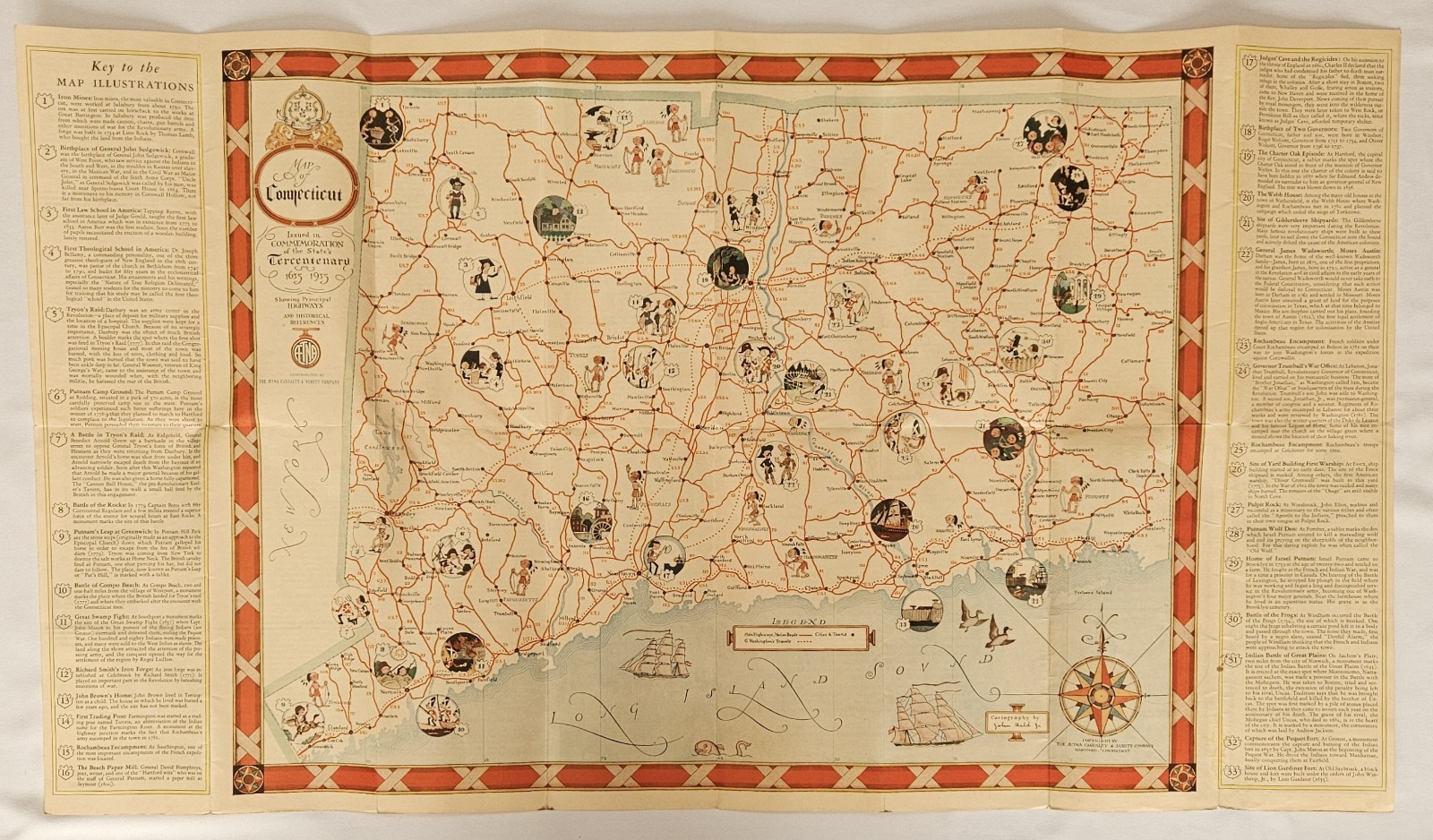
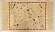
A wonderfully lively 1935 pictorial map of Connecticut, cartographed and illustrated by celebrated American cartoonist John Held Jr. and issued by the Aetna Casualty and Surety Company in commemoration of Connecticut’s Tercentenary, 1635–1935.
Held overlays Connecticut’s contemporary highway system with 33 numbered pictorial vignettes depicting people, events and landmarks from the state’s history. Puritans, Revolutionary soldiers, ships, historic buildings and other tiny scenes populate the landscape, with an extensive numbered key running along both sides of the map.
Held was one of the defining illustrators of the Jazz Age, particularly known for the angular, exuberant figures through which he chronicled American life in the 1920s. His work appeared in major American magazines, and his relationship with maps was more than decorative: during World War I he worked as an artist and cartographer for U.S. Naval Intelligence.
The reverse is nearly as interesting as the map itself, containing historical sketches of Connecticut’s original towns, photographs and descriptions of historic landmarks, and material produced for the 1935 Tercentenary celebration.
An especially appealing intersection of American pictorial cartography, Jazz Age illustration, Connecticut history and early automobile travel.
Details
Title: Map of Connecticut Showing Principal Highways
Place: Hartford, Connecticut
Publisher: Aetna Casualty and Surety Company
Date: 1935
Edition/Issue: Issued in commemoration of Connecticut’s Tercentenary, 1635–1935
Format: Folding pictorial road map and historical guide, printed in color with illustrated historical key; historical text and photographs on verso
Form No.: 9100-1
Dimensions: Approximately 32 × 18 inches fully opened
Condition
Good vintage condition with overall age toning and expected wear along the original folds. Scattered light staining, spotting and handling wear are present, including a small brown stain near the numbered historical key at No. 31. Some creasing and wear occur at fold intersections and edges. Colors remain attractive and the pictorial map displays very well when opened. Folded outer panels show additional toning, rubbing and handling wear. Please review photographs closely for condition.
Topic
Pictorial Maps; Connecticut; American Cartography; Highway Maps; Automobile Travel; Tercentenary; Colonial History; Revolutionary War; Jazz Age Illustration; 1930s Americana
Subject
John Held Jr.; Connecticut; Aetna Casualty and Surety Company; Connecticut Tercentenary; Pictorial Cartography; Historic Highways; American Illustration