When you click on links to various merchants on this site and make a purchase, this can result in this site earning a commission. Affiliate programs and affiliations include, but are not limited to, the eBay Partner Network.
Item Details:
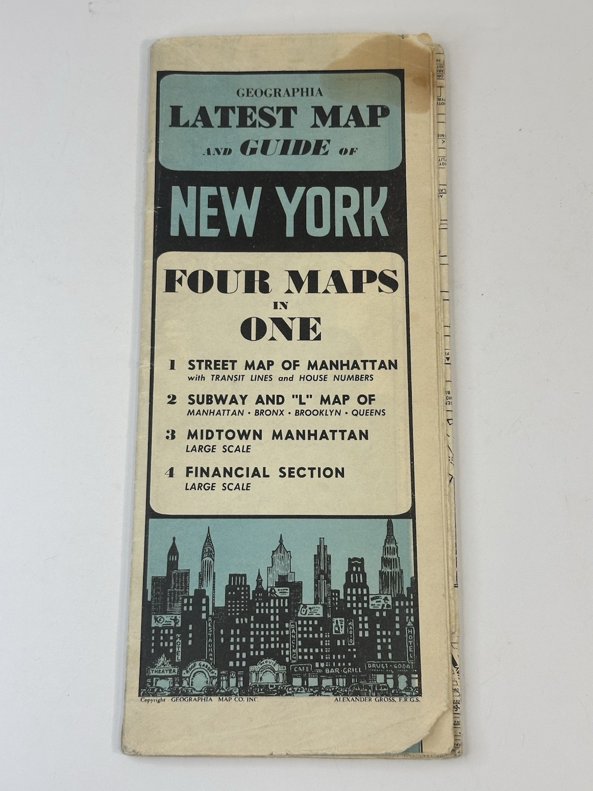
• Publisher: Geographia Map Co. Inc.
• Cartographer: Alexander Gross, F.R.G.S.
• Title: Latest Map and Guide of New York (Four
Maps in One)
• Estimated Date: Circa 1945 - 1950 (Post-WWIl
Era)
• Features: Manhattan Street Map, Subway and L (Elevated) Map, Midtown Manhattan,
Financial District
• Condition: Vintage Used / As-Is (In Protective
Plastic Sleeve)
Up for sale is an original, authentic mid-century Geographia Map and Guide of New York City, mapped by renowned cartographer Alexander Gross. This comprehensive historical guide features four detailed layouts in a single publication, highlighting a complete street grid of Manhattan, the Financial District, Midtown, and an early New York transit map showing both the subways and the historic Elevated "L" train systems.
Condition Notes:
This map guide shows authentic signs of age and handling but remains a highly desirable historical artifact. The interior text and map grids remain crisp, colorful, and highly detailed. Please note there is a prominent condition issue: one section is half-ripped along one of the factory fold seams. The map is currently stored and stabilized inside a clear plastic sleeve to protect it from further separation.
Shipping:
The map will remain inside its protective plastic sleeve and will be securely packed flat between thick, heavy layers of rigid cardboard.