When you click on links to various merchants on this site and make a purchase, this can result in this site earning a commission. Affiliate programs and affiliations include, but are not limited to, the eBay Partner Network.
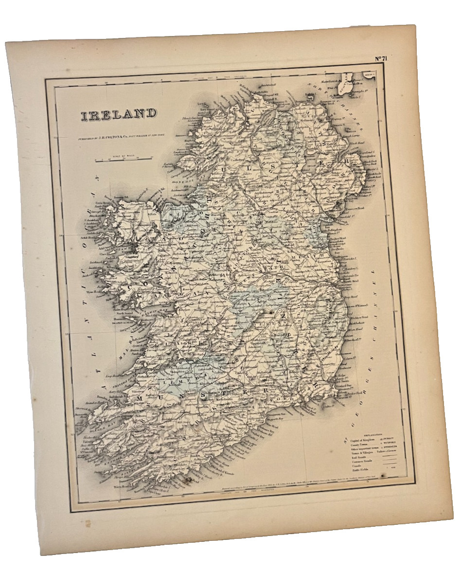
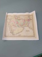
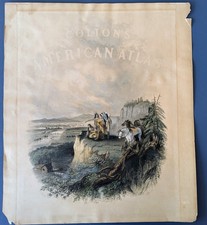
Offered is an original antique map by J.H. Colton, printed in the 19th century. The map features detailed period cartography and typography characteristic of Colton\'s well-known map publications.
The map has been removed from its original frame and plastic covering, so this listing is for the original printed map/sheet only. It is not currently mounted or framed.
The reverse of the sheet contains printed text concerning the French Empire. The map side is marked No. 71, which appears to be a plate, page, or map number associated with the original publication.
Please note that this is an antique printed item and shows age-related characteristics, which may include toning, foxing, discoloration, edge wear, creasing, or other signs of age. Please examine the photographs carefully for the condition of this particular example.
A great piece for collectors of antique maps, historical cartography, J.H. Colton publications, 19th-century Americana, or historical prints.
Item is sold unframed, as the original printed sheet shown. Will be mailed in protective tube.