When you click on links to various merchants on this site and make a purchase, this can result in this site earning a commission. Affiliate programs and affiliations include, but are not limited to, the eBay Partner Network.
Combined shipping is offered in the shopping cart.
Multiple payments will result in multiple shipments.
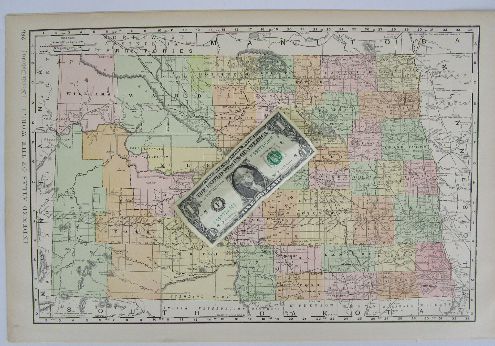
Scarce McNally large early 20th century topographic map of North Dakota. Large sheet 21\" x 14\" with a map inside the border of 18 13/16\" x 12 7/16\".
The other side is the full ND index. One additional sheet shows a watershed map and state facts.
This is an ORIGINAL atlas map sourced from the a 1902 McNally period Atlas (last photo).
Overall fine. Colors are still vibrant. Impressive for a 123 year old map. Zoom to inspect.
Shipped fast in a tube due to size.
More Dakota maps here:
INV: dewolfe. 1902-1 McN.US .235+1