

|
Site Categories |
|
Featured Items |

Poodle, Spaghetti Trim, Ucagco


|
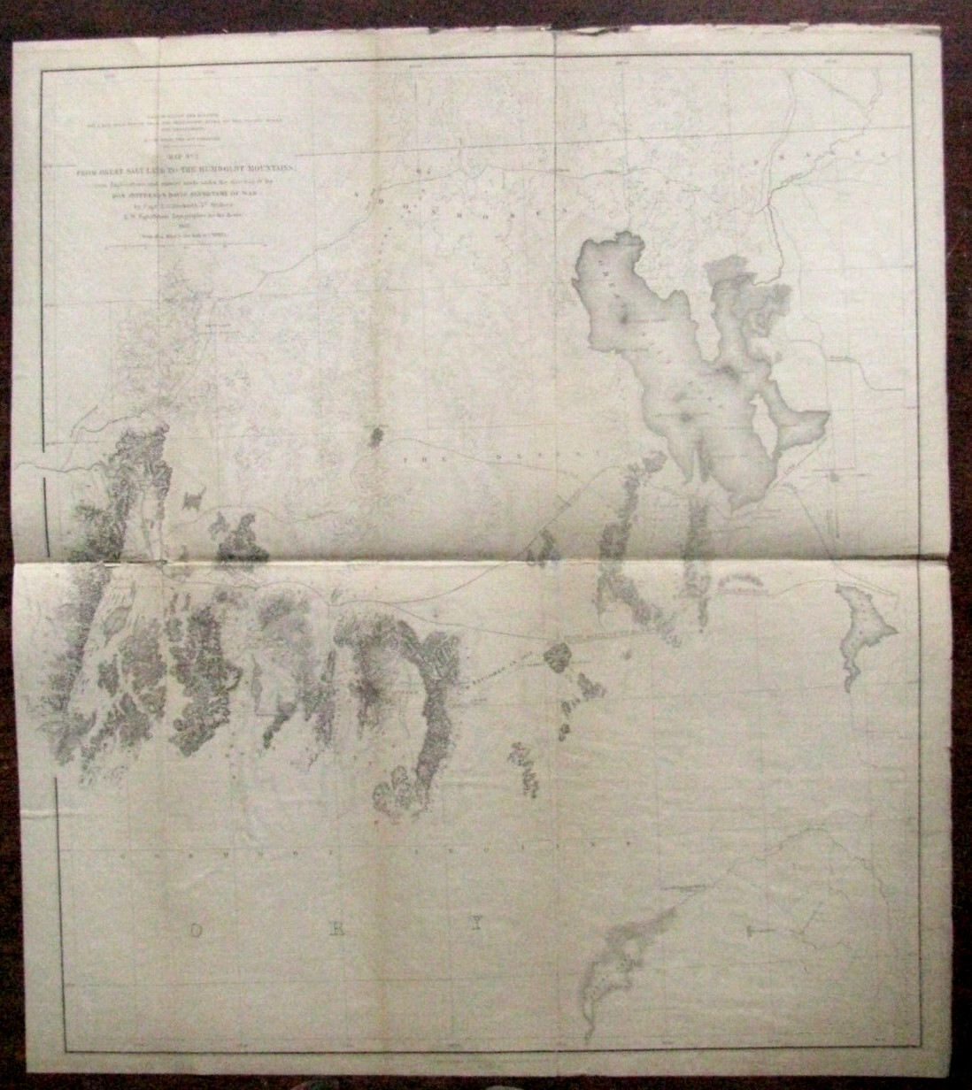
UTAH SURVEY MAP ON LINEN 1855 SALT LAKE AND HUMBOLDT MOUNTAINS For Sale

When you click on links to various merchants on this site and make a purchase, this can result in this site earning a commission. Affiliate programs and affiliations include, but are not limited to, the eBay Partner Network.

UTAH SURVEY MAP ON LINEN 1855 SALT LAKE AND HUMBOLDT MOUNTAINS:
$195.00
The US Army conducted surveys of The West in the 1850s to determine a route for the Transcontinental Railroad. An Original Survey Map \"From Great Salt Lake to the Humboldt Mountains\", the survey performed by Captain EG Beckwith and Topographer EW Egloffstein, \"by order of Secretary of War Jefferson Davis\", 1855.Thw Map shows the Great Salt Lake, Salt Lake City, the spot where Captain JW Gunnison was killed by Indians on the Sevier River ( at the time Mormon settlers were also suspected of the killing) , the Emigrant Road, Shoshone, Goshute & Snake River Indian lands, west to the Humboldt Mountains and South to Sevier Lake on a scale of 22 miles to 1 inch. The printer is \"Selmar Siebert\' Printing Establishment Washington, DC\". . The approx 21 x 19\" map mounted on original linen backing has edge and fold wear, age stains, acid free archival repairs on reverse folds, a library Imprint on lower corner, Overall Good Condition.
|
|
Related Items: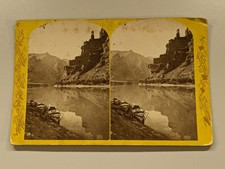
Green River Utah Powell Thompson Survey Boats E.O. Beaman Stereoview Photo $65.00
UTAH SURVEY MAP ON LINEN 1855 SALT LAKE AND HUMBOLDT MOUNTAINS $195.00
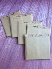
Kodak Super Aerographic Positive Plates HC (1970s) Aerial Survey Gold Hill Utah $370.00
|
|
|
Shopping Cart  |

|
Recently Viewed |
|
Latest Items |
|
Facebook |
Secure Websites

|
