When you click on links to various merchants on this site and make a purchase, this can result in this site earning a commission. Affiliate programs and affiliations include, but are not limited to, the eBay Partner Network.
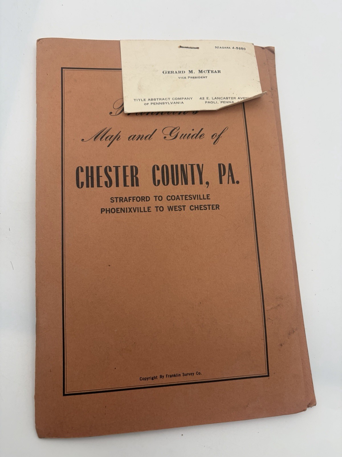
Franklin’s Map and Guide of Chester County, Pa.: Strafford to Coatesville, Phoenixville to West Chester
Franklin Survey Company, Philadelphia
Undated, circa 1957
Good staple-bound softcover with a pristine folding map. Map measures at 26”x 40”. Orange covers show surface soiling, creasing, edge wear and small corner tears. Pages have light toning and occasional spotting, with a small stain near the inner margin of the opening page. Unmarked. A business card for Gerard M. McTear, Vice President of the Title Abstract Company of Pennsylvania, is stapled to the front cover.
40 pages in printed orange wrappers, accompanied by a large folding street and road map printed in color and attached at the rear. The booklet includes a detailed street index, local historical and civic information, and advertisements for banks, real estate firms, insurance companies and other area businesses.
A practical guide to Chester County during a period of expanding roads and suburban development. The publisher’s introductory note highlights the Pennsylvania Turnpike, the new Downingtown bypass and the proposed relocation of Route 202. Alongside the map, the business advertisements preserve a useful picture of the county’s commercial life, complete with telephone exchange names and local office addresses.
Please take a moment to view all photos for the best sense of the item’s condition. If only one photo is shown, rest assured the description reflects it carefully. Your item will be securely packaged and shipped promptly.