When you click on links to various merchants on this site and make a purchase, this can result in this site earning a commission. Affiliate programs and affiliations include, but are not limited to, the eBay Partner Network.
"An Authentic, Antique, Original Chart, Not A Modern Reproduction"
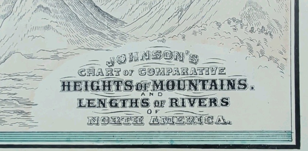
Offered for your consideration is a beautiful antique original A.J. Johnson comparative chart showing the heights of mountains, and lengths of rivers from a copper plate engraving. This 12 1/2" x 10 1/2" diagram is in VERY FINE condition with very light age tone, and a fold in the middle as issued, from a disbound A.J. Johnson atlas ©1885.
Please view our happy customer response and buy with complete confidence.
FREE SHIPPING with USPS tracking.
Please view the other 2000+ maps available in our store.
We sell antique and vintage originals only, no reproductions.
Thank you
*There are numerous companies out there selling modern reprints of this chart.
THIS IS AN AUTHENTIC, ANTIQUE, ORIGINAL, CHART.