When you click on links to various merchants on this site and make a purchase, this can result in this site earning a commission. Affiliate programs and affiliations include, but are not limited to, the eBay Partner Network.
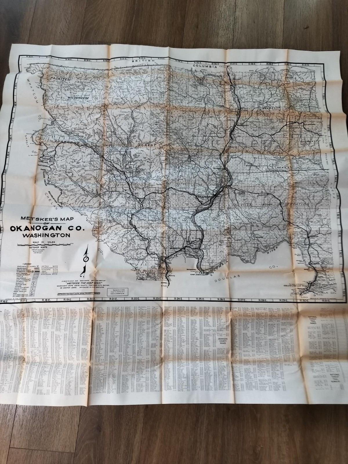
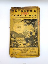
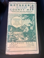
Vintage Metsker’s Map of Okanogan County, Washington, produced circa mid‑1970s to early 1980s. Includes the original cover and Metsker envelope, both in excellent condition. Map shows forest roads, trails, creeks, lakes, township/range grids, national forest boundaries, railroads, peaks, and small towns. Everything indexed for easy location.
Condition: Map, cover, and envelope are all in excellent vintage condition. Clean folds, no major tears, no writing, and strong printing.